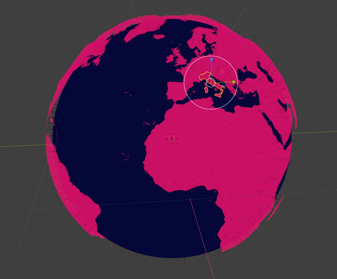
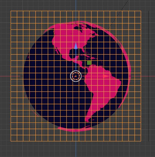
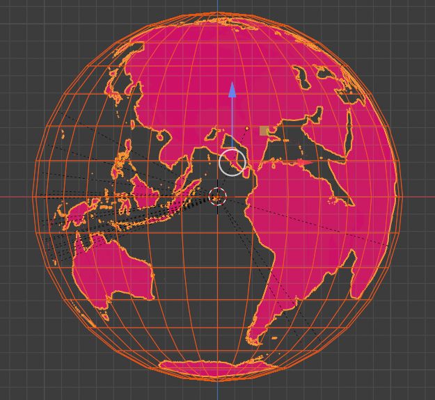
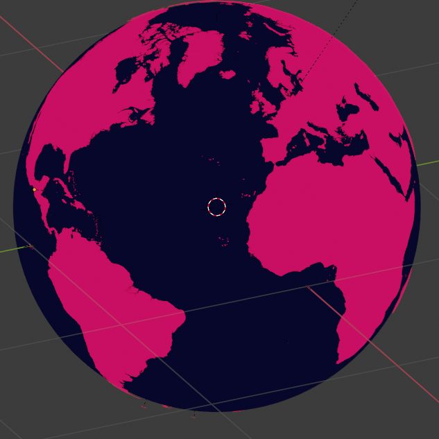
I've got a project I'm on where I must project some shapefile generated country surfaces onto a globe. Here's where I am currently...
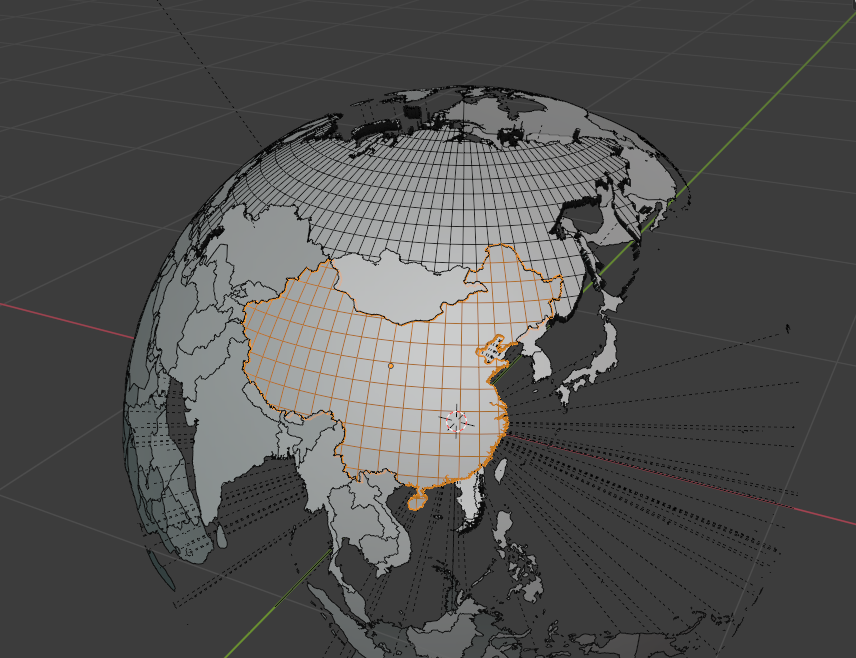
Now, the shapefiles I used have excellent vertex resolution about the edges of the countries, but has only 5-10 vertices within the boundaries of any country. This is because the shapefiles were not meant to be curved at all, they're meant to stay flat (or were designed for that purpose, at least). That's why off to the left we can see the gray background between pink and blue -- the Americas are floating.
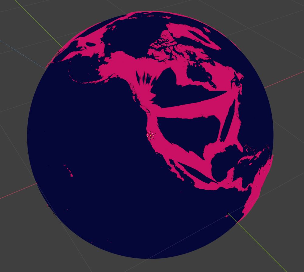
If we move the countries toward the globe any closer, large countries clip through the globe as seen below.
Shrinkwrap
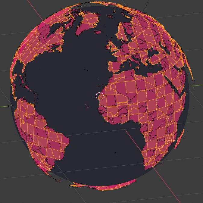
My plan for country projection was to shrinkwrap the countries to the globe, but that results in the same clipping as above due to the low interior vertex count.
Subsurf
I tried increasing the count using subsurface-division, and that crashes blender. I believe the issue is the HIGH vertex count at the edges -- Russia has 24,000 vertices. So when I subsurf Russia, it just stalls and crashes after half an hour of crunching on it.
Decimate
To decrease the vertex count, I tried decimate. However, it spawned two problems:
- Some countries are 1 face & thus cannot use decimate which needs 3 faces minimum.
- Even decimating Russia until it's unrecognizable (~1000 verts) still leaves a crash-worthy vertex count.
Question
All I need is to project these countries onto the globe. I don't know where to go from here. Maybe increasing the vertex count a very slight amount for each country with some other modifier or program... or by hand. Then shrinkwrapping.
I feel like there must be some to that just does projection on a surface based on tris instead of verts.
Anyways, any ideas for different approaches or improvements on this approach are very welcome. :)
EDIT -- Adding blend file
 In there we have the countries all parented to an empty called "Core". I've been scaling the core up and down to get the countries where they are now.
EDIT 2 -- I didn't consider there actually is another constraint. The country vertices need to be mapped to the nearest point on the globe.

