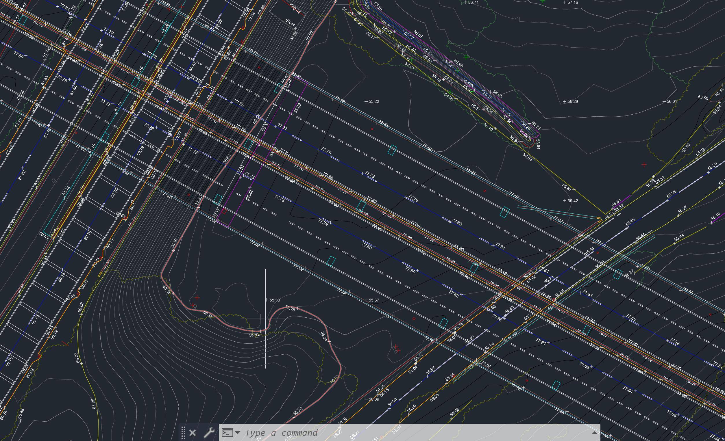
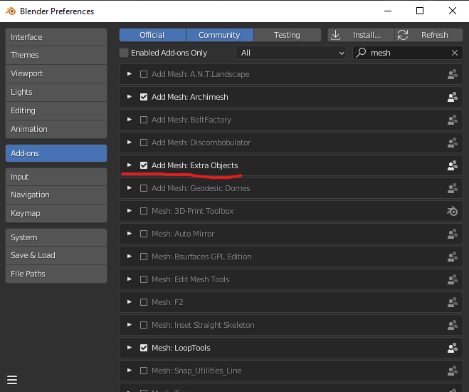
I work for a construction company and I want to create a topography/ground level for a site that is not flat. I have imported an image as plane with an over-layed a pdf screenshot of the site with the survey levels included.
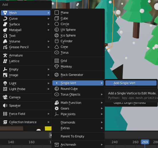
I want to be able to place a vertex on each of these points to allow me then to adjust the height for each point. This is rhw image I'm working with. Subdivision only seems to let me place more vertices on regular points.
Any help would be much appreciated.


