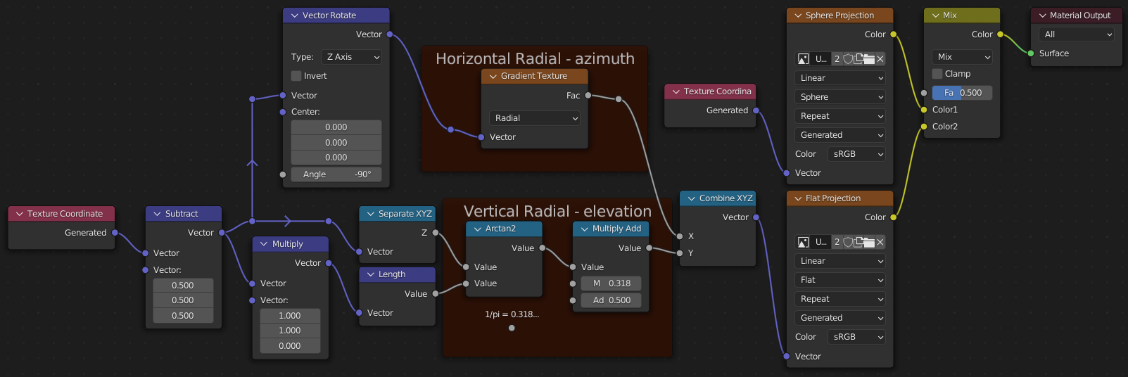
Sphere Projection uses the Spherical coordinate system:
- radial distance $r$ (or $ρ$) is not used, because it’s a projection,
- azimuth $\varphi$ (also known as a polar coordinate) is translated to $x$ in the texture,
- inclination (elevation) $θ$ is translated to $y$ in the texture.
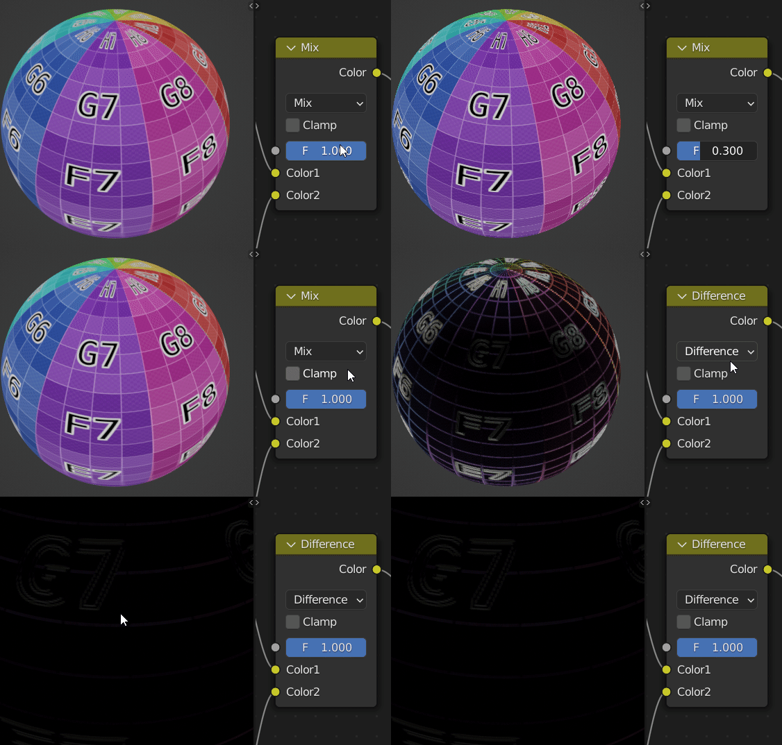
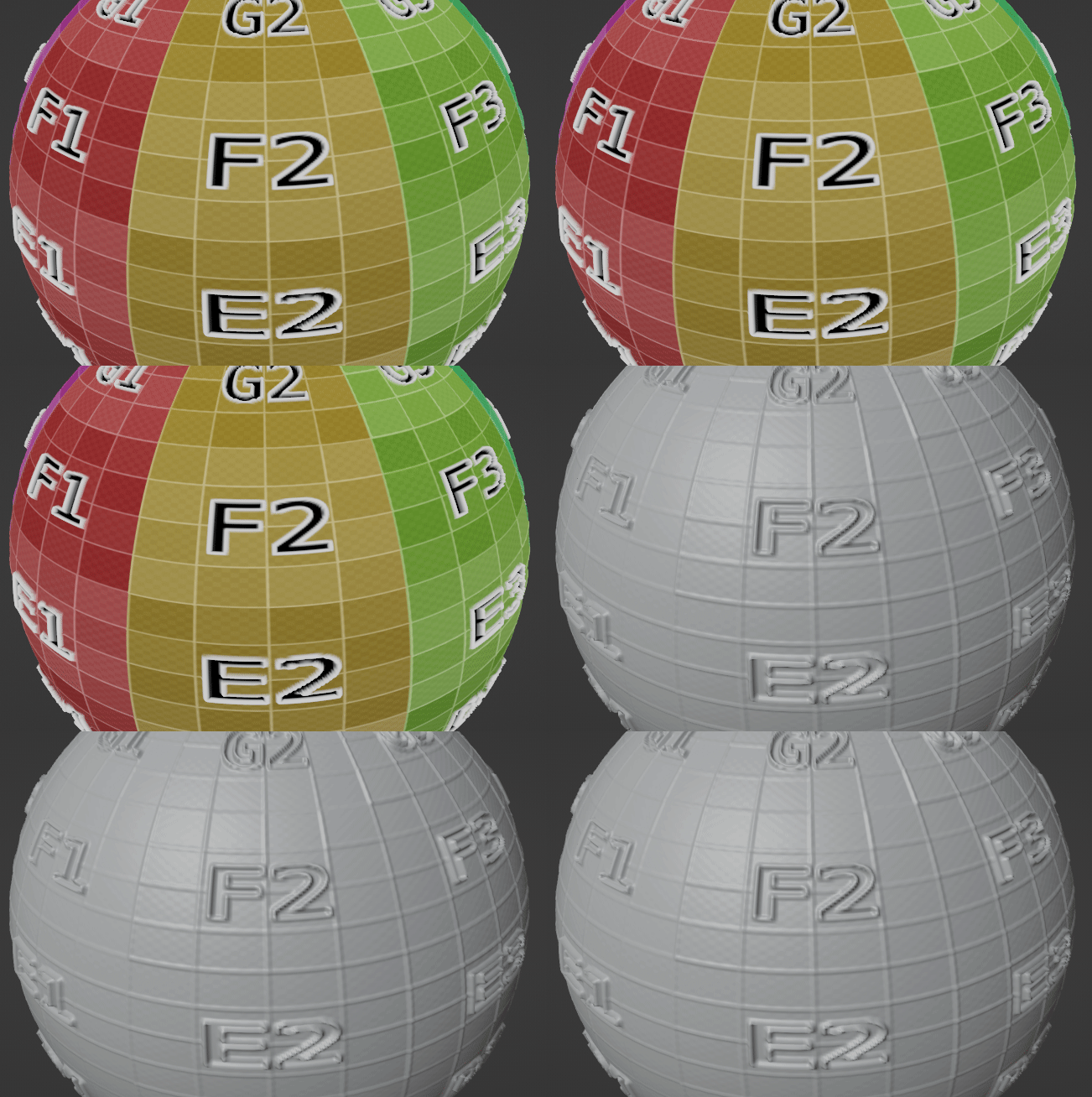
There are some aliasing problems visible on the azimuth seam and from far away in the Difference blending, and even when zooming some differences can still be spotted – maybe the algorithm could be improved by e.g. changing the orders of calculations, so the float errors are reduced?
In geometry nodes you don’t have the Generated coordinate system, but you don’t need it, and in fact, using the Object coordinate system is simpler, because you can remove the first Vector Math, which makes sure the center of sphere is in the origin:


