0
$\begingroup$

I have got Geospatial Data, which has real world coordinates. The minimum and maximums of these coordinates are as follows:

         X     Y        Z
min    10000   10000  340
max    30000   30000  1100

I wish to fit all the view of Blender, in this range. How would that be possible, either by using the Blender GUI or the Blender Python API.

$\endgroup$

1 Answer 1

1
$\begingroup$

My suggestion is to use the scale option.

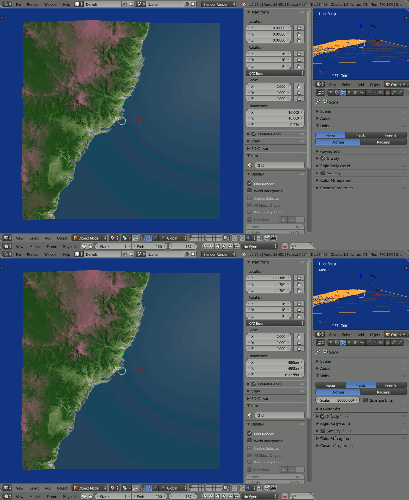
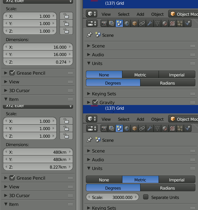
In the image below the real world block is 480 x 480 km, scale is used to map it onto 16 x 16 blender units. Once that choice is made, divide your coordinates by

scene.unit_settings.scale_length

when importing, calculated to give you the correct dimensions in the unit of your data.

Options SMTP

$\endgroup$

You must log in to answer this question.

Not the answer you're looking for? Browse other questions tagged .